


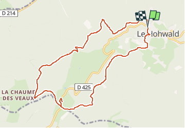

20 km | 31 km-effort


Utilisateur


Application GPS de randonnée GRATUITE
 SityTrail
IGN / Instituts géographiques
SityTrail World
Le monde est à vous
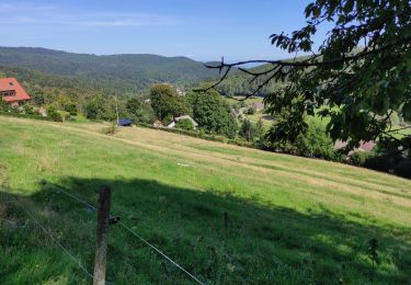
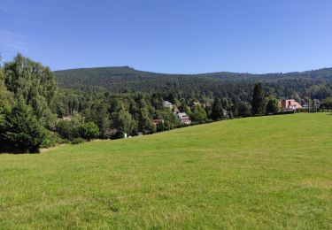
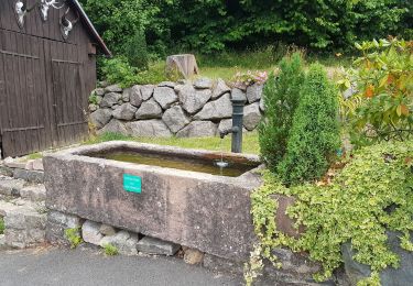
Randonnée Marche de 10,3 km à découvrir à Grand Est, Bas-Rhin, Le Hohwald. Cette randonnée est proposée par patrickbeyrath.
Marche

Marche

Marche
Marche
Marche
Marche
Marche
Marche
Marche
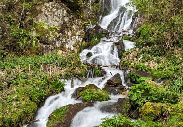
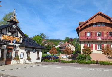
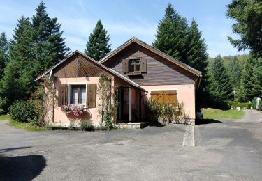
Très sympa, principalement en forêt.